| VIETNAM
Qui Nhơn Air Base: Satellite Photos |
||
|---|---|---|
|
Satellite of
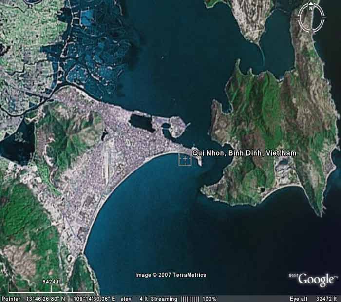 QN AB, imaged Fly Over at 32,472 feet altitude. QN AB, imaged Fly Over at 32,472 feet altitude. | ||
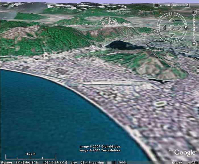
|
Satellite of
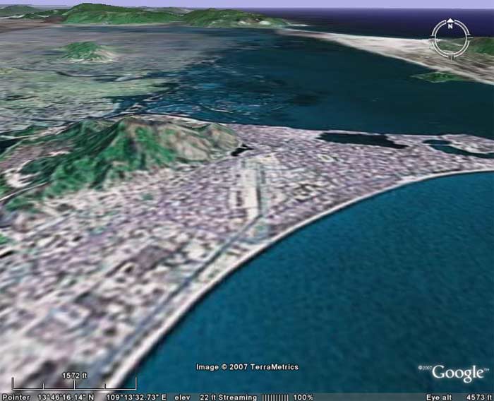 QN AB, imaged/angled North at 4,573 feet altitude. QN AB, imaged/angled North at 4,573 feet altitude. | ||
Satellite of
 QN AB, imaged/angled South at 4,573 feet altitude. QN AB, imaged/angled South at 4,573 feet altitude. | ||
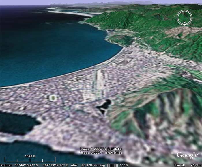
Satellite of
 QN AB, imaged/angled East at 4,575 feet altitude. QN AB, imaged/angled East at 4,575 feet altitude. | ||
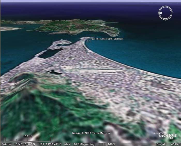
Satellite of
 QN AB, imaged/angled West at 4,573 feet altitude. QN AB, imaged/angled West at 4,573 feet altitude. | ||
|
|
||