| Biên Hòa Air Field: Satellite Photos | ||
|---|---|---|
| Vietnam | ||
 DLT AB, imaged/Fly Over at 5 Miles altitude. DLT AB, imaged/Fly Over at 5 Miles altitude.
| ||
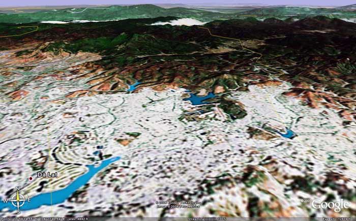 DLT AB, imaged/angled North at 12,609 feet altitude. DLT AB, imaged/angled North at 12,609 feet altitude.
| ||
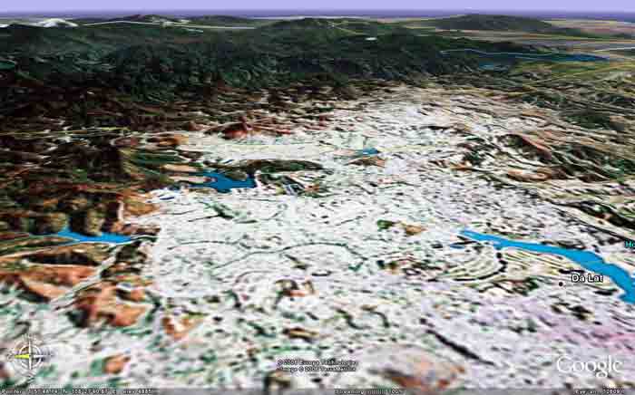
 DLT AB, imaged/angled South at 12,609 feet altitude. DLT AB, imaged/angled South at 12,609 feet altitude.
| ||
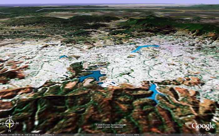
 DLT AB, imaged/angled East at 12,609 feet altitude. DLT AB, imaged/angled East at 12,609 feet altitude.
| ||
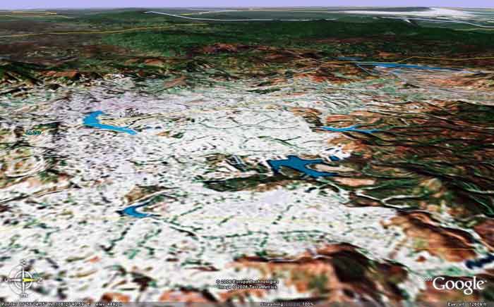 DLT AB, imaged/angled West at 12,609 feet altitude. DLT AB, imaged/angled West at 12,609 feet altitude.
| ||
|
|
||