| VIETNAM
Biên Hòa Air Base: Satellite Photos |
||
|---|---|---|
|
Satellite of
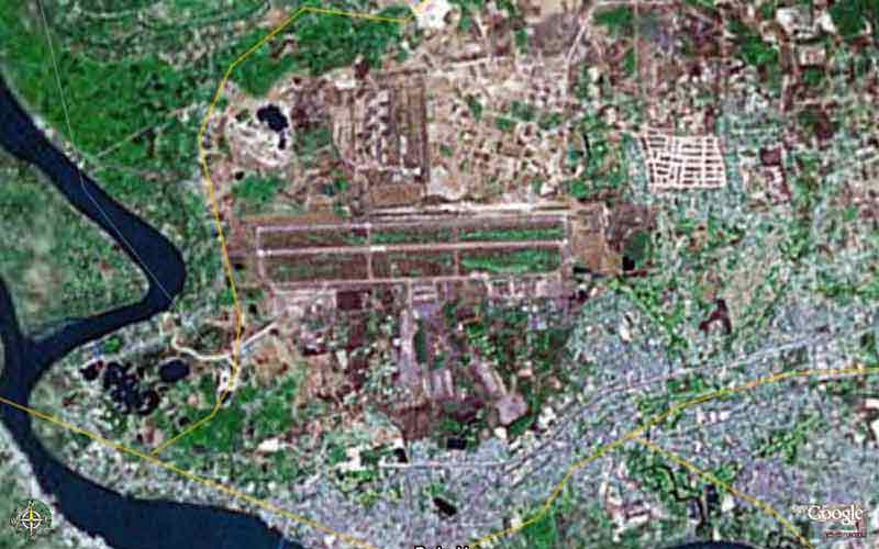 BH AB, imaged Fly Over at 3 Miles altitude. BH AB, imaged Fly Over at 3 Miles altitude.
| ||
|
Satellite of
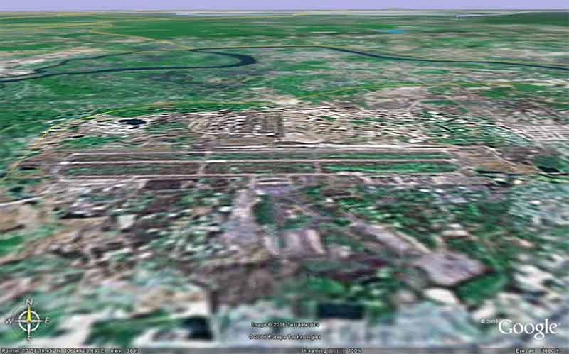 BH AB, imaged/angled North at 3,880 feet altitude. BH AB, imaged/angled North at 3,880 feet altitude. | ||
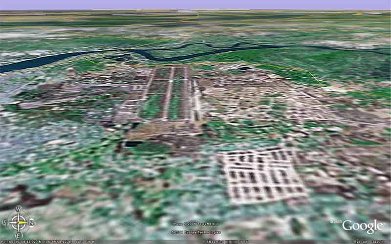
Satellite of
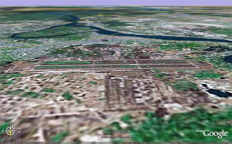 BH AB, imaged/angled South at 3,820 feet altitude. BH AB, imaged/angled South at 3,820 feet altitude. | ||
Satellite of
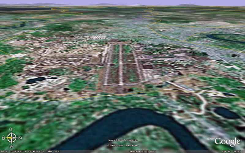 BH AB, imaged/angled East at 3,820 feet altitude. BH AB, imaged/angled East at 3,820 feet altitude. | ||
Satellite of
 BH AB, imaged/angled West at 3,820 feet altitude. BH AB, imaged/angled West at 3,820 feet altitude. | ||
|
|
||