| V
ietnam
Tan Son Nhut AB: Aerial Photos |
||
|---|---|---|
|
Satellite of
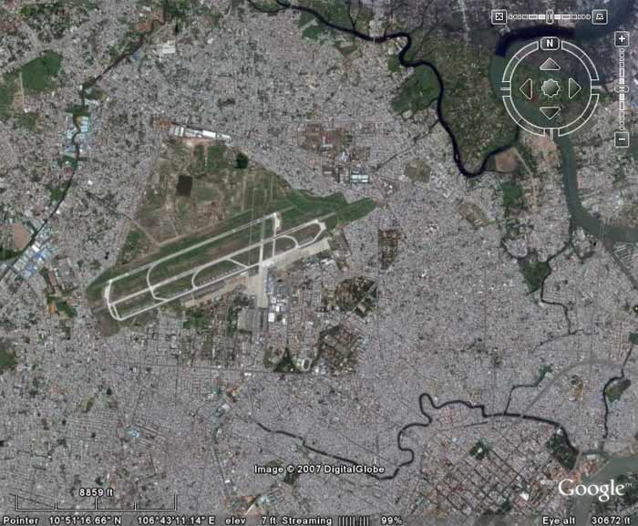 TSN AB, imaged Fly Over at 30,672 feet altitude. TSN AB, imaged Fly Over at 30,672 feet altitude. | ||
Satellite of
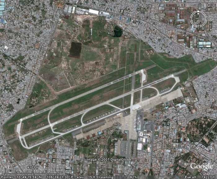 TSN AB, imaged Fly Over at 14,227 feet altitude. TSN AB, imaged Fly Over at 14,227 feet altitude. | ||
|
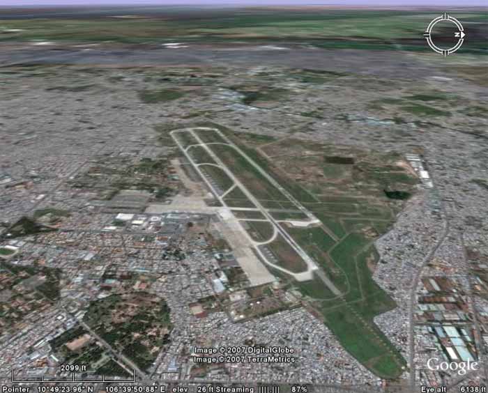
Satellite of
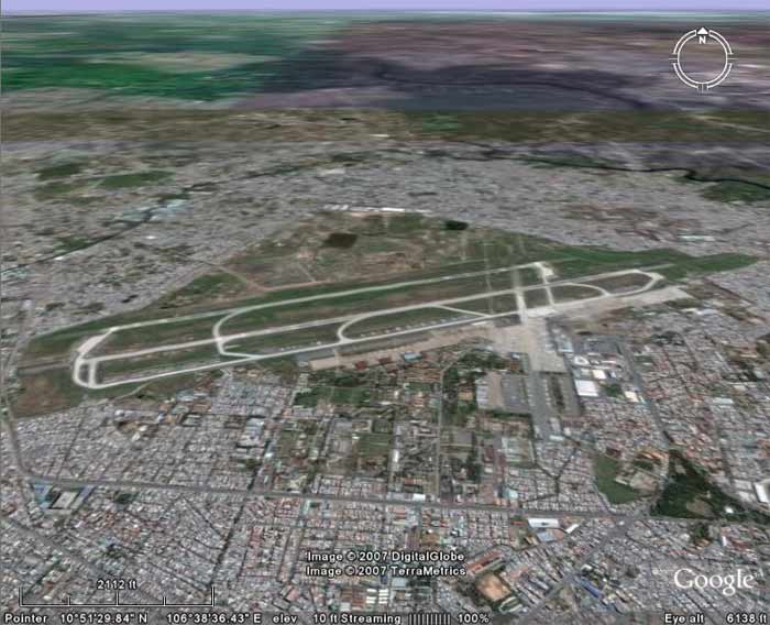 TSN AB, imaged/angled North at 6,138 feet altitude. TSN AB, imaged/angled North at 6,138 feet altitude. | ||
Satellite of
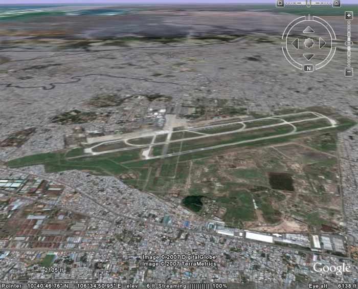 TSN AB, imaged/angled South at 6,138 feet altitude. TSN AB, imaged/angled South at 6,138 feet altitude. | ||
Satellite of
 TSN AB, imaged/angled East at 6,256 feet altitude. TSN AB, imaged/angled East at 6,256 feet altitude. | ||
Satellite of
 TSN AB, imaged/angled West at 6,138 TSN AB, imaged/angled West at 6,138
| ||
Satellite of
 TSN AB, imaged/angled N/E, Control Tower at 758 feet altitude. TSN AB, imaged/angled N/E, Control Tower at 758 feet altitude. | ||
|
|
||