| Nha Trang AB, Satellite Photos | ||
|---|---|---|
| Vietnam | ||
Satellite of
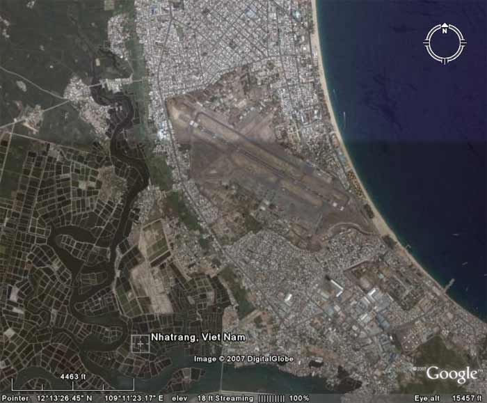 NT AB, imaged Fly Over at 15457 Feet altitude. NT AB, imaged Fly Over at 15457 Feet altitude.
| ||
Satellite of
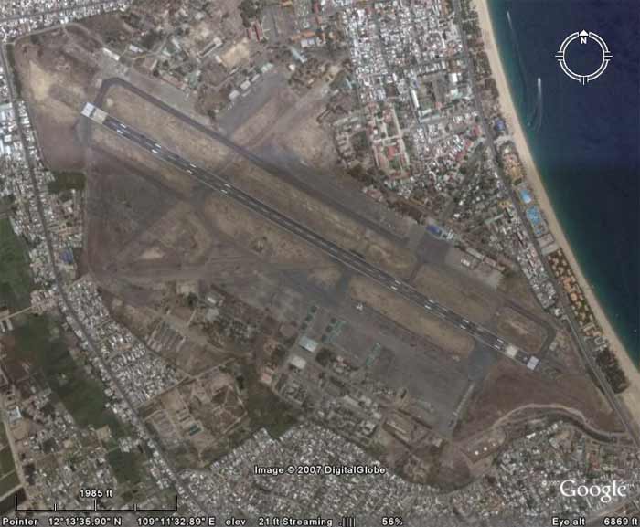 NT AB, imaged Fly Over at 6,869 feet altitude. NT AB, imaged Fly Over at 6,869 feet altitude.
| ||
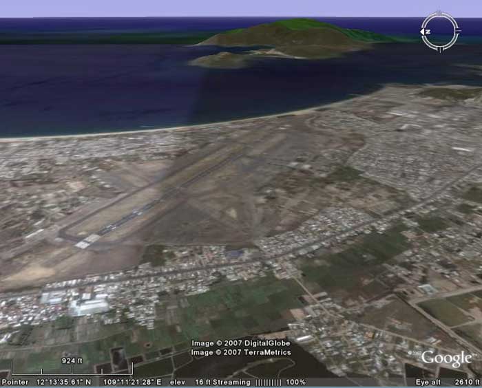
Satellite of
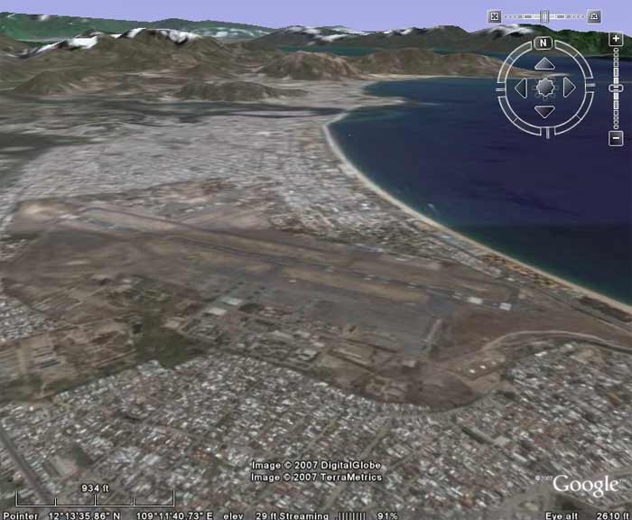 NT AB, imaged/angled North at 2610 feet altitude. NT AB, imaged/angled North at 2610 feet altitude.
| ||
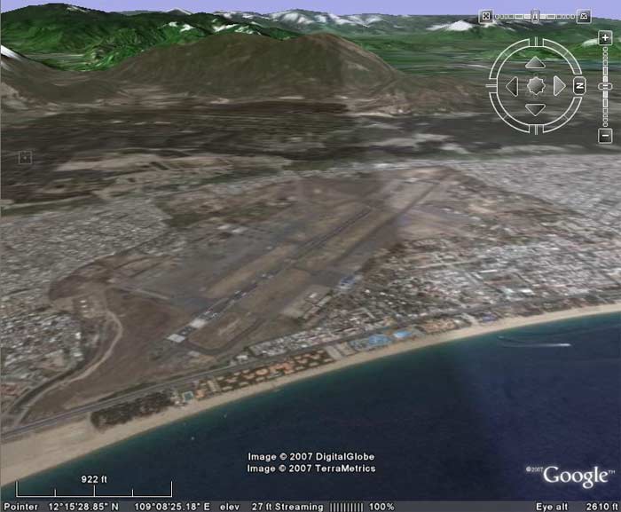
Satellite of
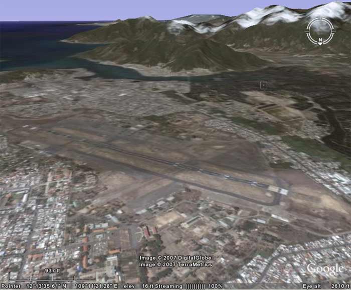 NT AB, imaged/angled South at 2,610 feet altitude. NT AB, imaged/angled South at 2,610 feet altitude.
| ||
Satellite of
 NT AB, imaged/angled East view at 2,610 feet altitude. NT AB, imaged/angled East view at 2,610 feet altitude.
| ||
Satellite of
 NT AB, imaged/angled West at 2,610 feet altitude. NT AB, imaged/angled West at 2,610 feet altitude.
| ||