| Ban Mê Thuột Air Field and Camp Coryell: Satellite Photos | ||
|---|---|---|
| Vietnam | ||
|
Satellite of
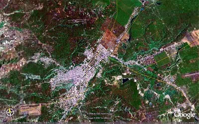 BMT AB, imaged Fly Over, at 8 miles altitude. BMT AB, imaged Fly Over, at 8 miles altitude.
| ||
|
Satellite of
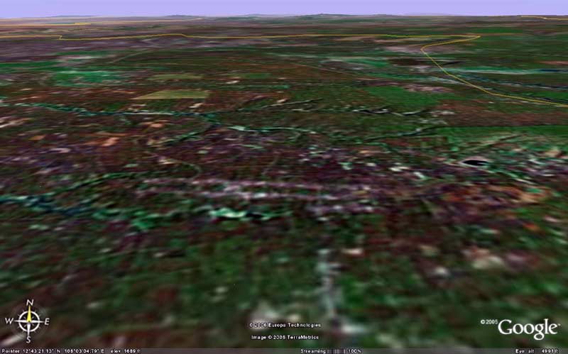 BMT AB imaged/angled North, at 4,900 feet altitude. BMT AB imaged/angled North, at 4,900 feet altitude.
|
||
Satellite of
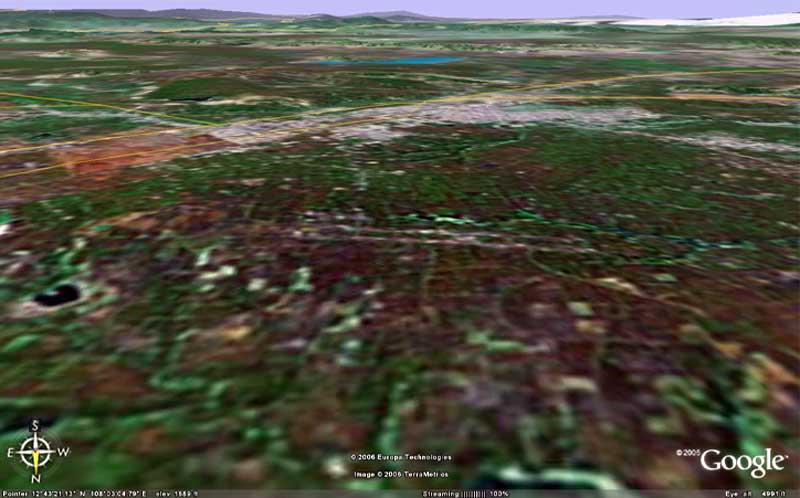 BMT AB imaged/angled South, at 4,900 feet altitude. BMT AB imaged/angled South, at 4,900 feet altitude.
|
||
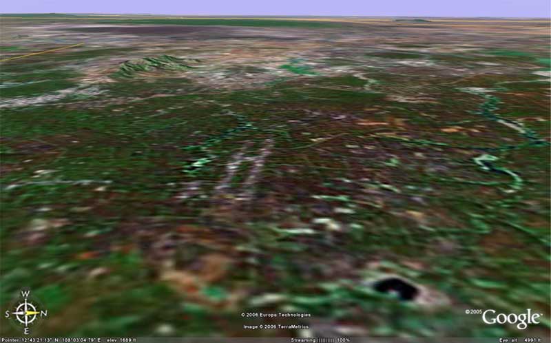
Satellite of
 BMT AB, imaged/angled East at 4,951 feet altitude. BMT AB, imaged/angled East at 4,951 feet altitude.
|
||
Satellite of
 BMT AB imaged/angled West, at 4,951 feet altitude. BMT AB imaged/angled West, at 4,951 feet altitude.
|
||
|
|
||